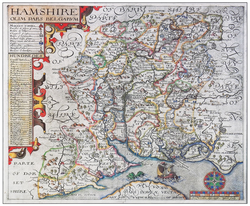
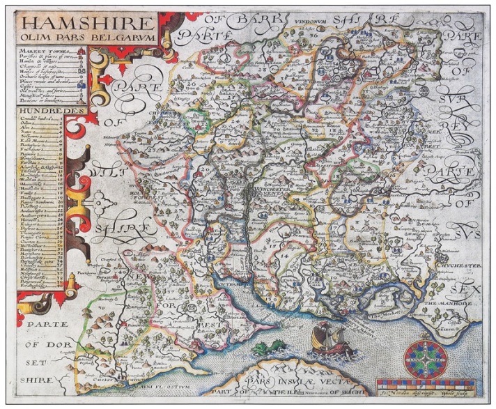
Beware the sea serpent which prowls the Solent Strait and preys on unusually large ships featured on Norden’s magnificent map of Hampshire dating from 1595. His highly decorative map contains referenced symbols indicating market towns, hamlets and castles and also reveals the dangerous beasts which lurked in the sea. Norden was the first English mapmaker to publish triangular tables indicating the distances between places and to show administrative boundaries within Hampshire.
Continue reading “Hampshire’s maps: sea serpents and trains”
